Fragile Planet: documenting the impact of the climate crisis – in pictures.
Fragile Planet is a record of the dramatic changes that are shaping our planet. Containing more than 230 photographs, the book documents the effects of climate systems and forces of nature on our world alongside striking images that show their impact.
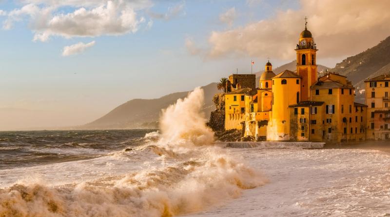
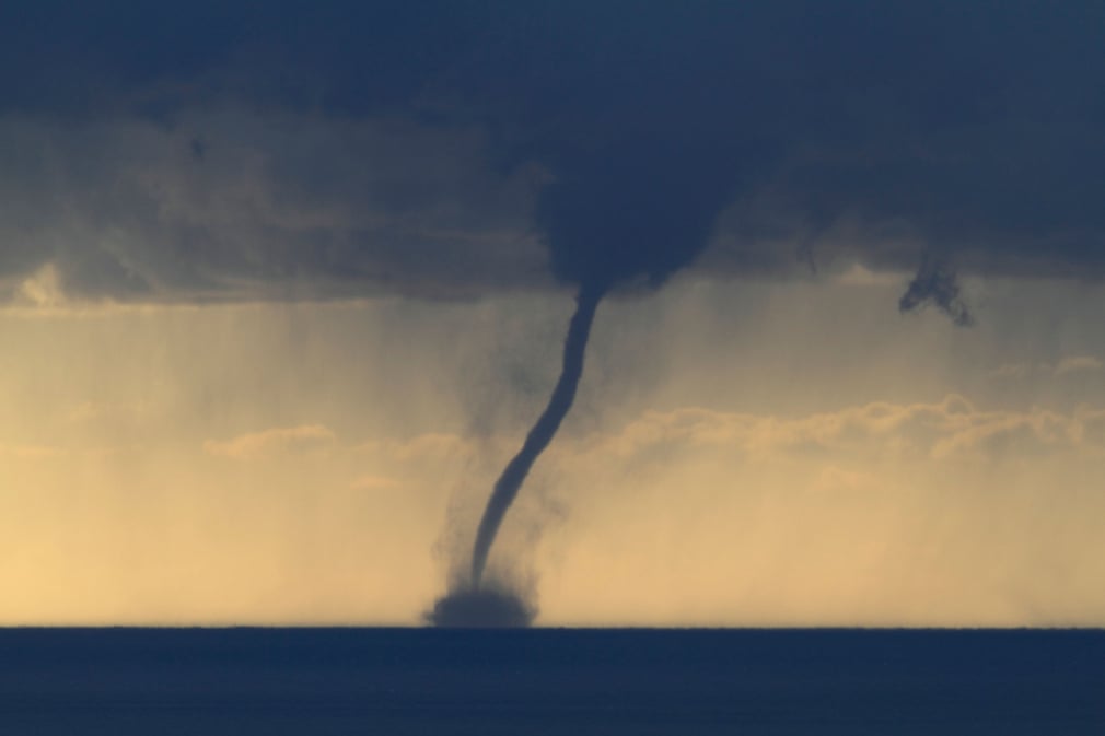
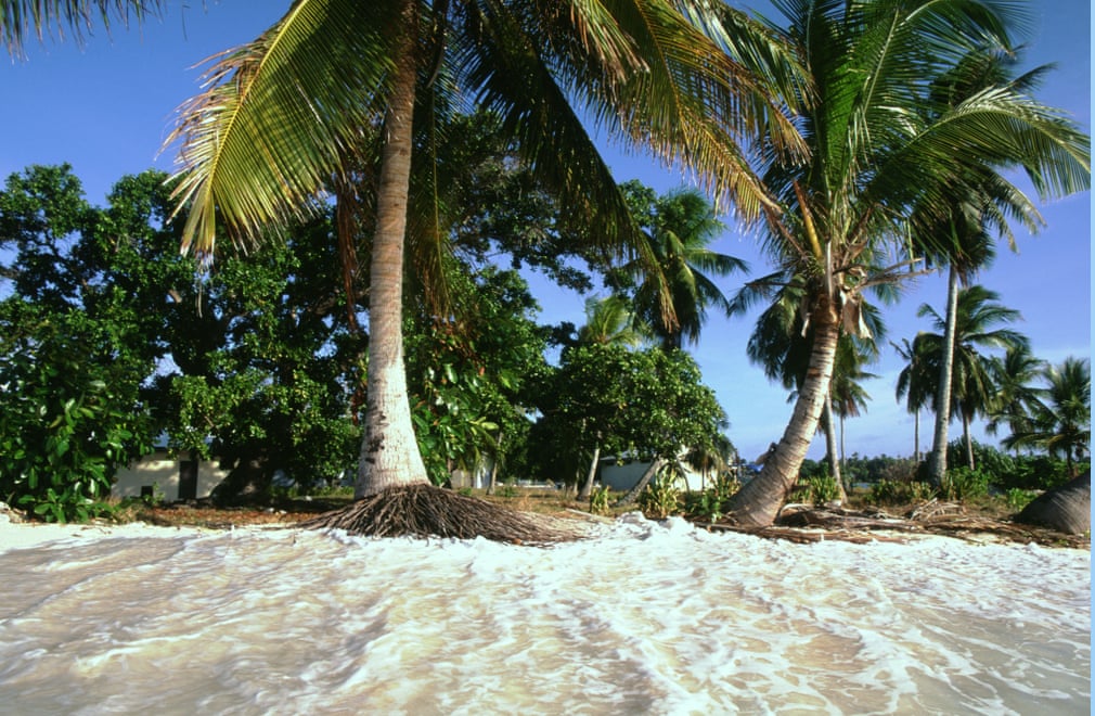
Photograph: Newscom/Alamy
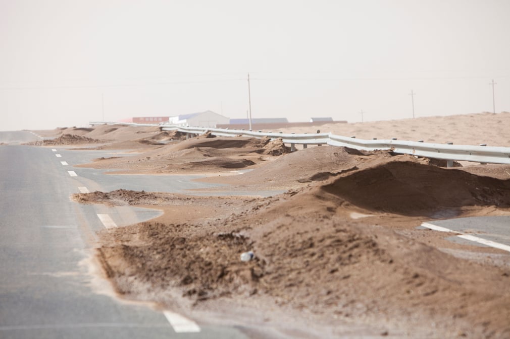
Photograph: Newscom/Alamy
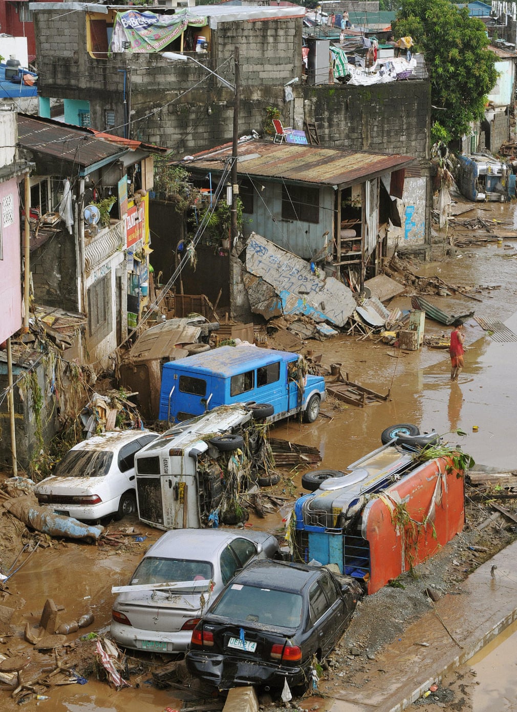
Photograph: Charlie Riedel/AP
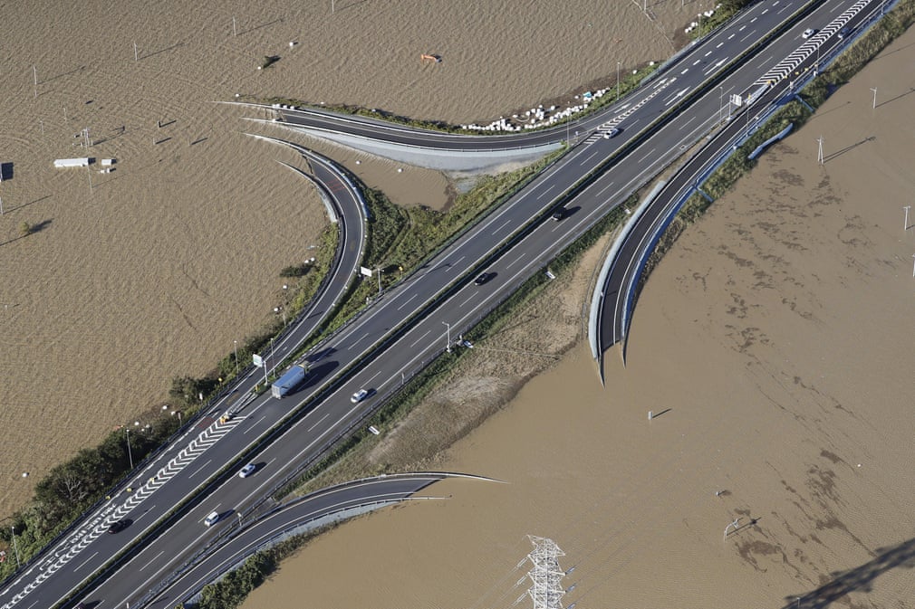
Photograph: ImageBroker/Alamy
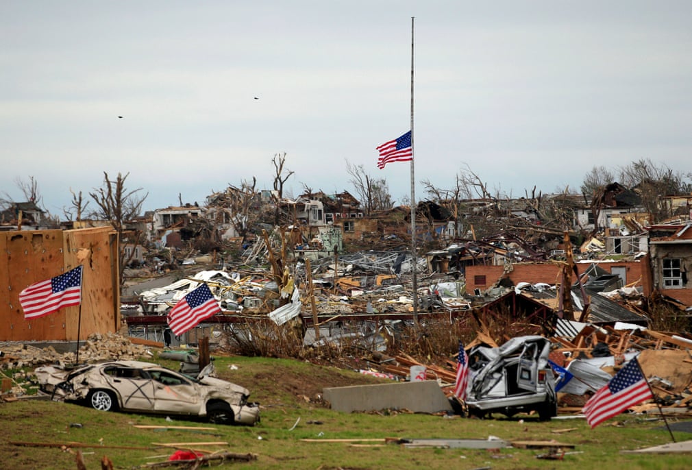
Photograph: Wenn Rights/Alamy
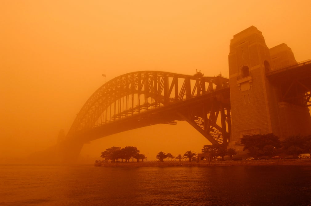
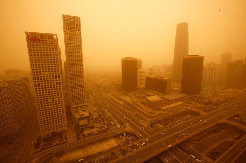
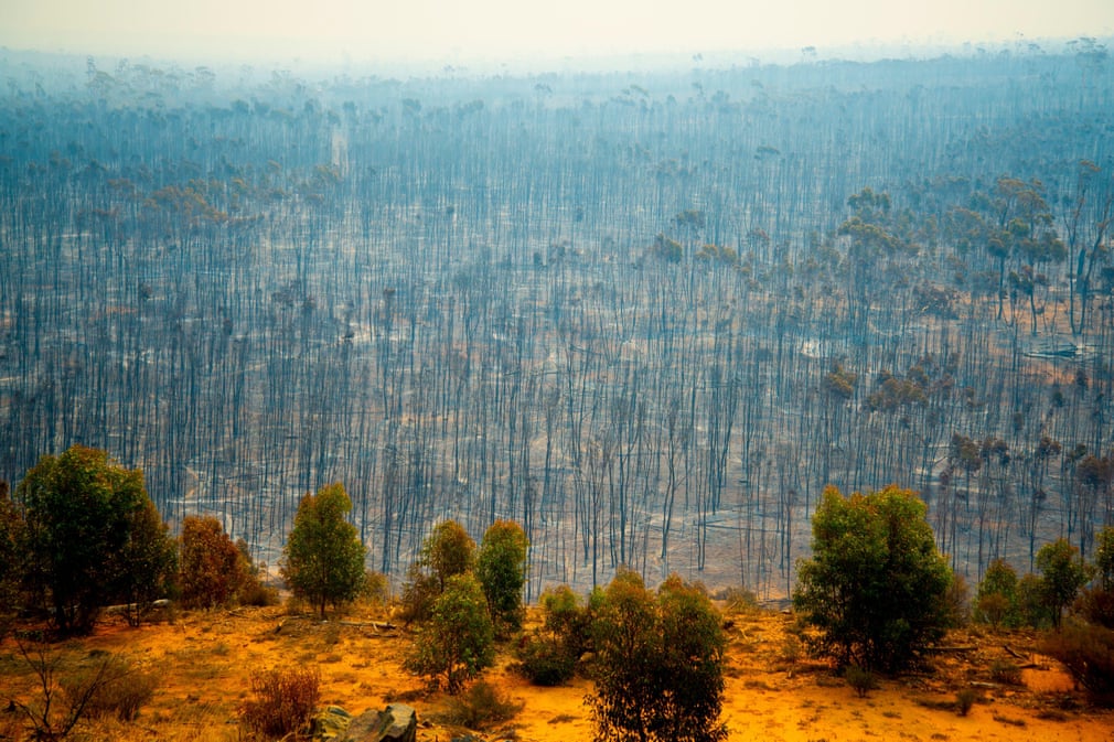
At the peak of this duststorm, air particle concentration levels hit 15,400mg/m3 of air. To put this in context, normal days register about 20mg/m3 and bushfires can produce 500mg/m3. It was estimated that about 16m tons of dust were picked up from Australia’s deserts, and during the worst parts of the duststorm, nearly 75,000 tons of dust were being lost off the New South Wales coast every hour
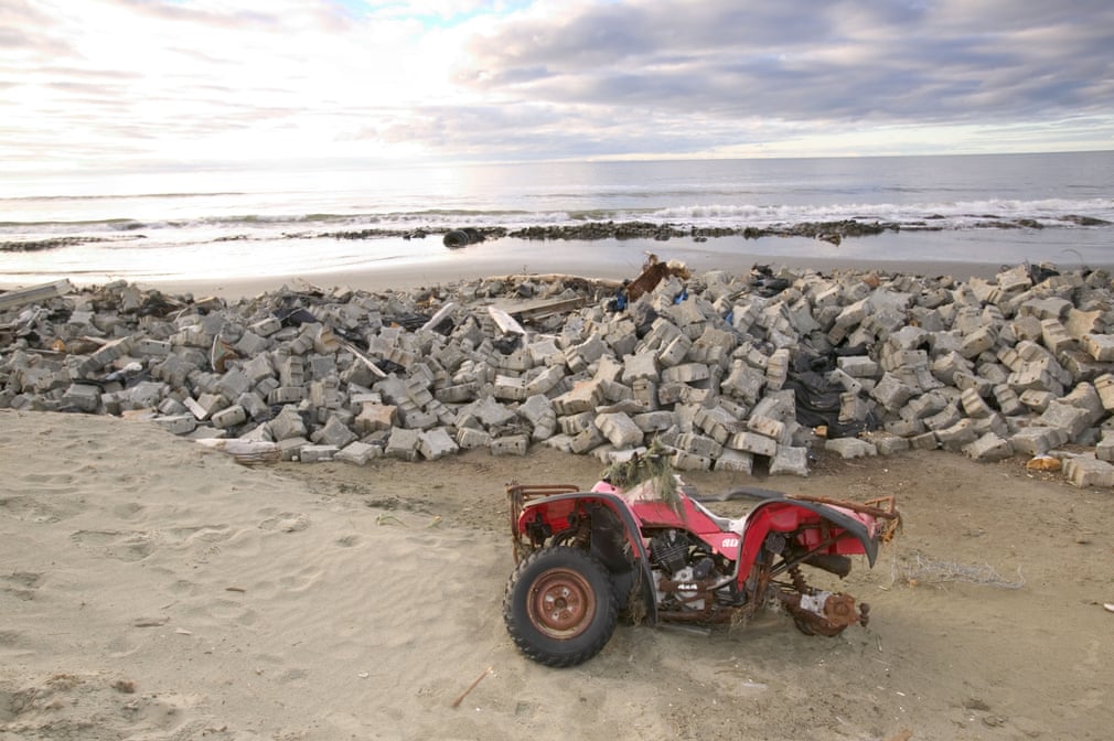
Photograph: Redbrickstock.com/Alamy
FacebookTwitterPinterest
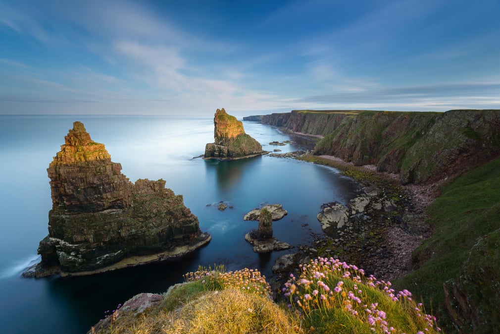
Photograph: Bartosz Luczak/Alamy
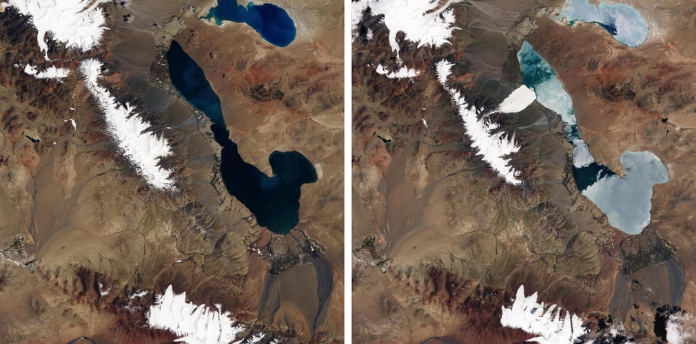
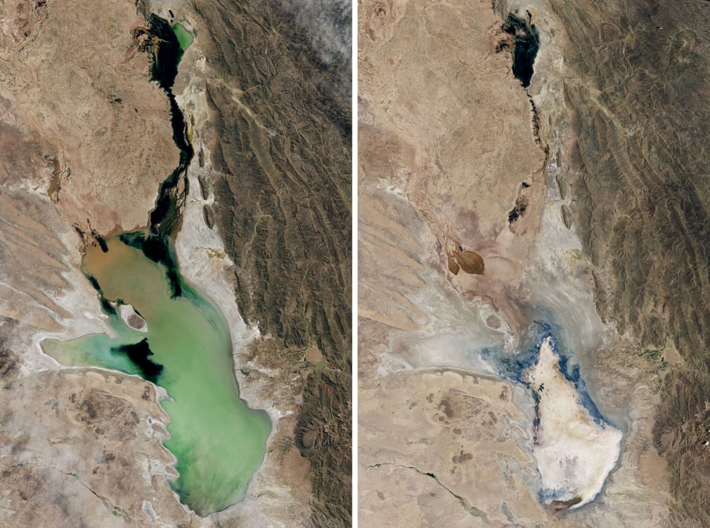
Photograph: Nasa
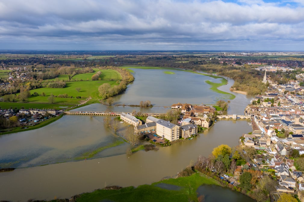
Photograph: Robert Harding/Alamy
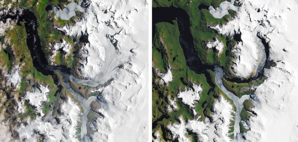
Photograph: Nasa
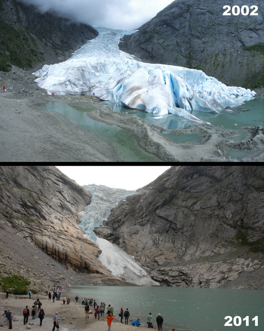
Photograph: Eric Middelkoop/Alamy
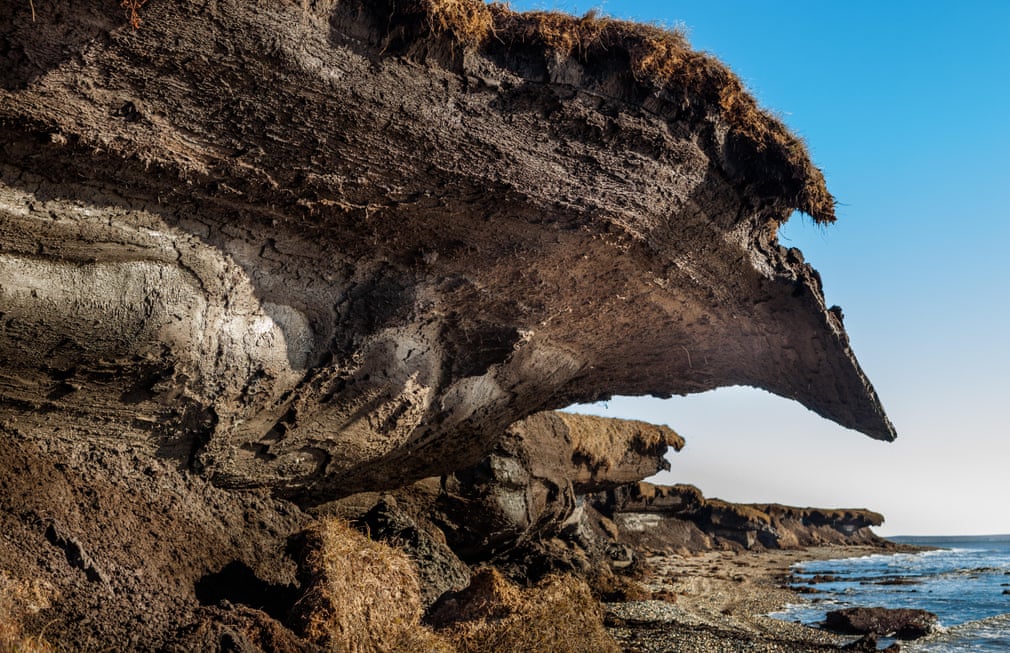
Photograph: Peace Portal/Alamy
A house sliding down a thawing slope of permafrost in Spitsbergen, Norway
Photograph: Ashley Cooper/Alamy
FacebookTwitterPinterest
Photograph: Paolo Bolla/Alamy
Photograph: Frans Lemmens/Alamy
Photograph: Photofusion Picture Library/Alamy
Photograph: Global Warming Images/Alamy
Photograph: Stephen Foote/Alamy
Photograph: Adwo/Alamy
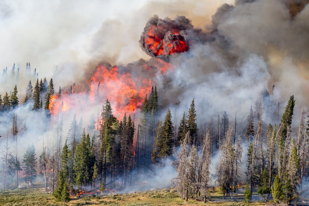
Photograph: Kristen Honig/USFS
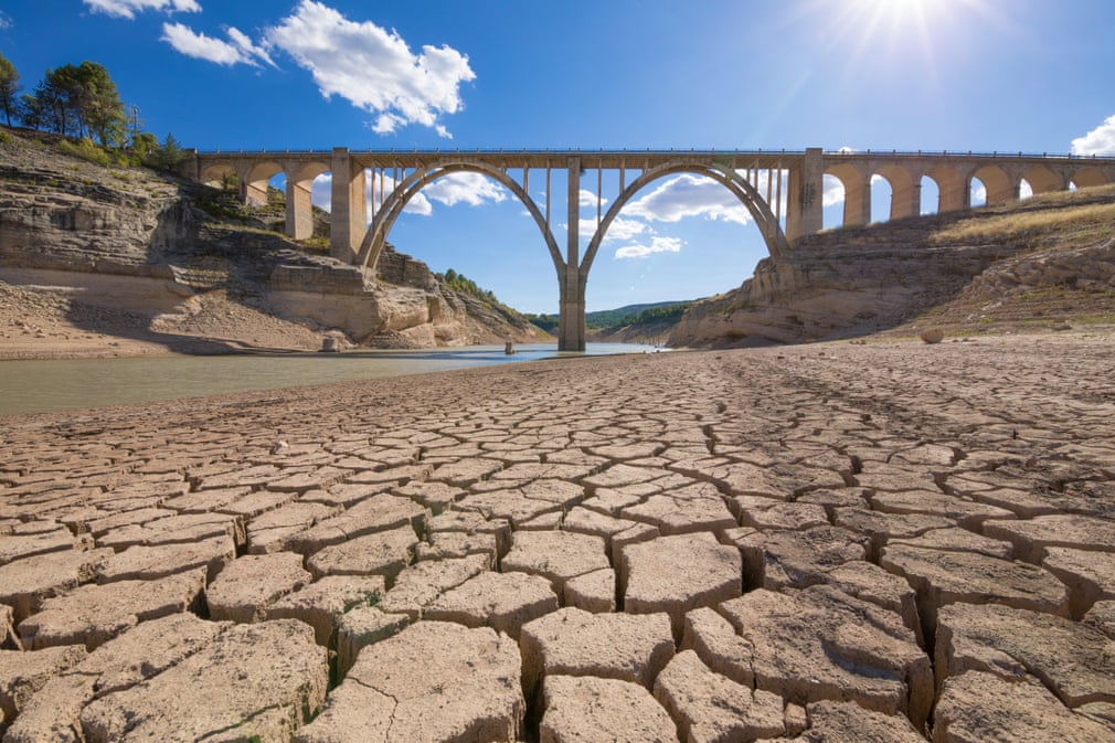
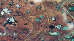
Drought conditions in Guadalajara, Spain
Photograph: Agefotostock/Alamy
FacebookTwitterPinterest
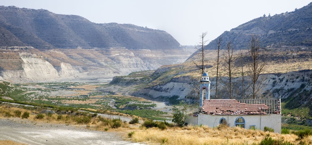
Photograph: Rodger Tamblyn/Alamy
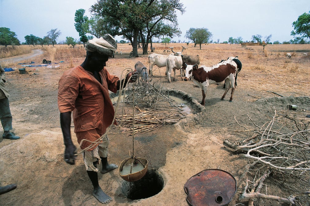
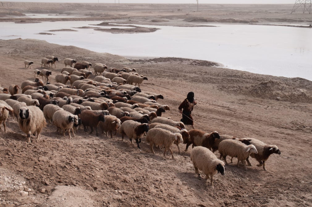
In Burkina Faso, the lowering of the water table due to drought necessitates the deepening of wells to collect enough water to sustain communities
Photograph: DeAgostini/Alamy
FacebookTwitterPinterest
Photograph: Nasa
Photograph: Global Warming Images/Alamy
Photograph: RooM the Agency/Alamy
Photograph: Geoff Robinson
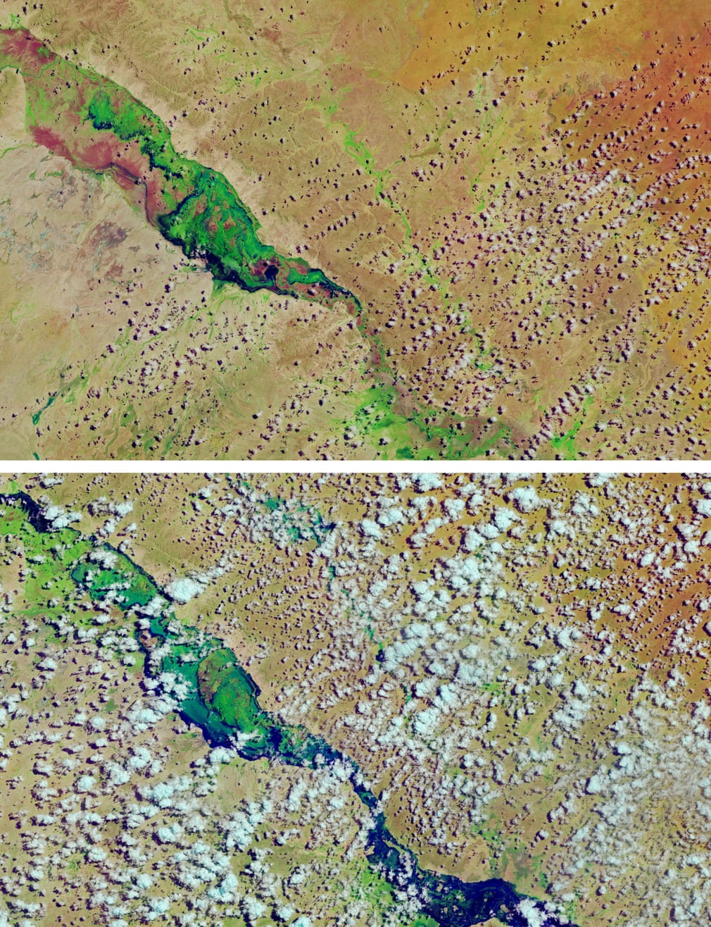
Photograph: Nasa
Photograph: Izel Photography/Alamy
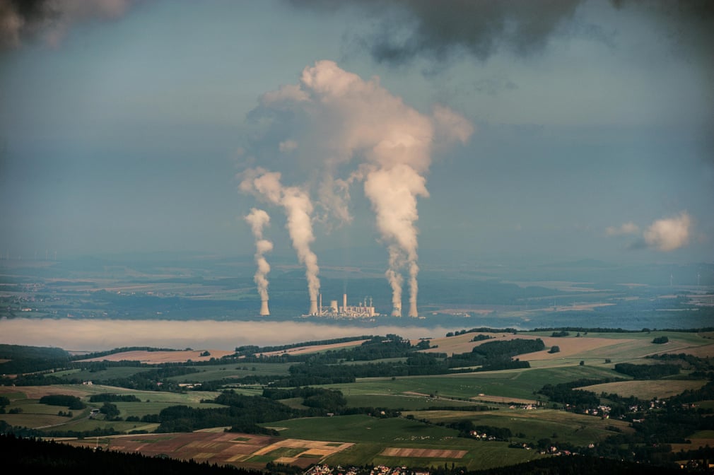
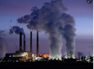
The Polish government is devoting billions towards finding alternative, cleaner heat sources to traditional coal heating. The fossil fuel is not just a domestic issue – many power plants across the country rely on coal to generate energy. The image shows a coal-fired power plant in Turów, which generates about 8% of Poland’s electricity
Photograph: CTK/Alamy
FacebookTwitterPinterest
Photograph: UPI/Alamy
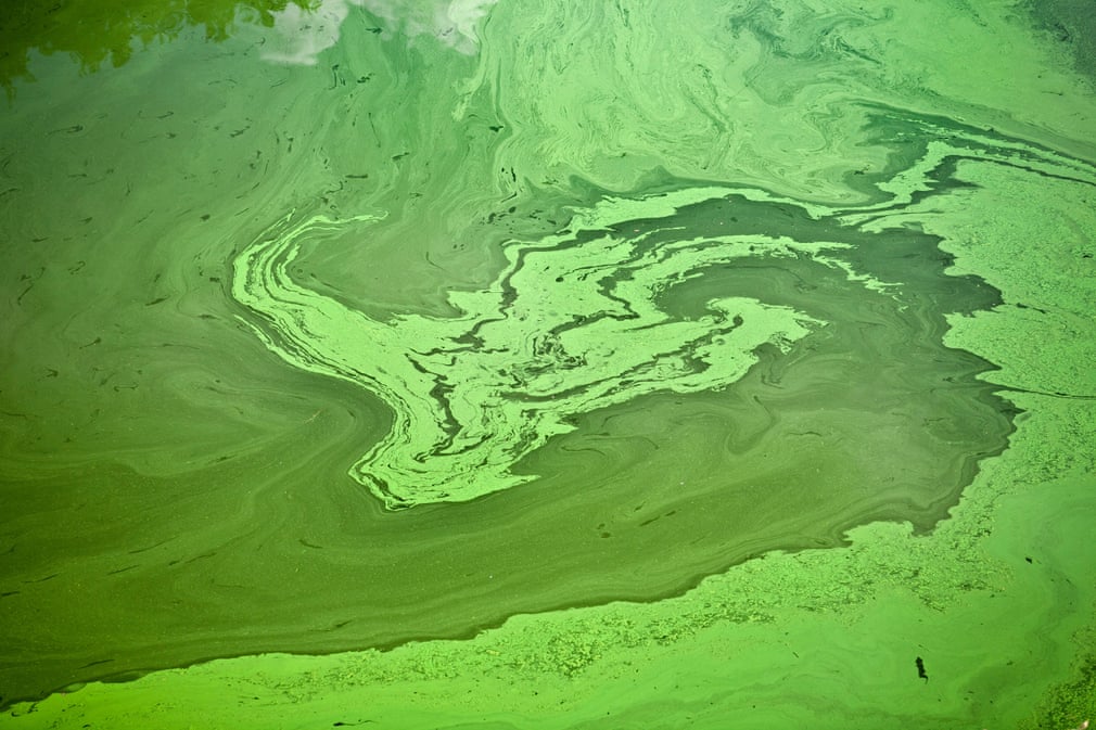
Green algae in Puy-de-Dôme, France
Photograph: Emmanuel Lattes/Alamy
FacebookTwitterPinterest
Photograph: Getty Images
8 October 2020
Τhe Guardian


