Hidden boundaries of lost continent 'Zealandia' revealed in incredible detail
The underwater continent broke off from Gondwana 80 million years ago.
A new ocean-mapping expedition is drawing the boundaries of Zealandia, a submerged "lost continent" that hosts New Zealand and the territory of New Caledonia in the South Pacific.
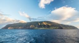
Zealandia broke off from the supercontinent Gondwana between 79 million and 83 million years ago. Except for New Zealand and New Caledonia, this fragment of continental crust now sits on the ocean floor. It's not the only bit of continental crust that's detached from a larger continent, but it is the largest at 1.9 million square miles (4.9 million square kilometers). That's six times larger than the next-largest continental fragment, the microcontinent of Madagascar.
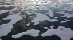
Zealandia, also known as Te Riu-a-Māui in Māori, was assigned continental status in 2017. Since then, researchers have been working to map the lost continent — no easy feat, as 94% of it is under water.
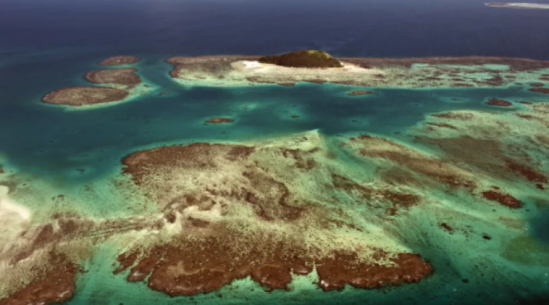
Now, Derya Gürer, an earth scientist at the University of Queensland in Australia, and her colleagues have collected new data on the northwestern edge of Zealandia, which is located offshore in Queensland's Coral Sea Marine Park. The researchers spent 28 days aboard the vessel Falkor exploring the region, mapping 14,285 square miles (37,000 square km).
The area between the Australia plate and the Zealandia plate is likely very complicated, Gürer said. There are probably several microcontinents submerged there, all of which splintered off the main continental masses when Australia broke free of Gondwana. (The supercontinent encompassed what is today South America, Africa, Antarctica, Australia, Zealandia, Arabia and the Indian subcontinent.) These fragments of continental crust are different from the surrounding oceanic crust of the seafloor, which is denser and thinner than continental crust.
Done in collaboration with the Schmidt Ocean Institute, the mapping was part of the Seafloor to Seabirds expedition. The mapping data will also feed into a larger project, the Seabed 2030 collaboration, which aims to make a publicly available, comprehensive map of the ocean floor by 2030. According to the National Oceanic and Atmospheric Administration (NOAA), less than 10% of the seafloor has been mapped by modern sonar methods, which use sound to reveal undersea topography. The Seafloor to Seabird expedition not only collected information about topography, but also data on the intensity of the magnetic field across the area. Because oceanic crust and continental crust are made of different mineral concentrations with different magnetic signatures, this data will enable researchers to reconstruct the broken fragments of Gondwana.
"The seafloor is full of clues for understanding the complex geologic history of both the Australian and Zealandian continental plates," Gürer said.
LIVE SCIENCE
25 March 2021