Why rising sea levels pose existential threat to the Bahamas – extract

The commonwealth of the Bahamas is an archipelago of more than 700 islands, of which 30 are inhabited, and more than 2,000 small islets or cays. The islands form part of the Lucayan Archipelago, named after the region’s Indigenous Lucayan people, a branch of the Taíno people who lived on most Caribbean islands.
The islands’ name derives either from the Taíno ba ha ma (“big upper middle land”) or from the later Spanish baha mar (“shallow sea”), describing the shallow waters around the islands
In the Caribbean, the Bahamas are the islands most at risk due to sea level rise for three reasons. First, the islands have a low elevation. Mount Alvernia is the highest point in the islands, at just 64 metres (210ft) elevation. Most of the islands rest just a few feet above sea level.
Second, they consist of limestone, the Swiss cheese of geology, which is extremely permeable and porous. It allows saltwater to intrude, and can even soak it up like a sponge.
As a result, when sea levels rise, the islands will be inundated not only at the shoreline from sea level rise but also from underground as water can percolate up through the porous material. The southern tip of neighbouring Florida in the US, just 50–60 miles (80–100 km) away, is also largely limestone, which has led to inundation in the Everglades and Miami.
And third, the Bahamas have a high population density along the coastline. The majority (83%) of the population lives in urban environments; 75% lives on New Providence Island, the main island and home to the capital, Nassau.
According to a report on the threat of sea level rise in the Caribbean by Climate Central, “The Bahamas confront by far the greatest proportional threat: 32% of land [and] 25% of population … are below 0.5 metres [1.64 ft]”. For the Bahamas, 32cm (1.04ft) of sea level rise is predicted by 2050, and 82cm (2.68ft) by 2100.
The Bahamas are also at a high risk of hurricanes and tropical storms because the archipelago sits at the northern end of the Atlantic “hurricane alley”According to the Intergovernmental Panel on Climate Change (IPCC)’s fifth assessment report, the impacts of sea level rise measured in national GDP found that alongside islands in the Pacific – specifically Palau, Micronesia, the Marshall Islands and Nauru – the island group that would be most affected is the Bahamas. In 2020, Moody’s rating agency said the Bahamas was among the four nations forecast to be hit hardest financially by sea level rise, with an estimated 11% of its residents and 15% of its GDP at risk.
It also found 12% of its total land mass would be at risk of submersion with 1 metre (3ft) of sea-level rise.
If global temperatures increase by 3C, Moody’s predicted 67% of the Bahamas’ population would be affected.
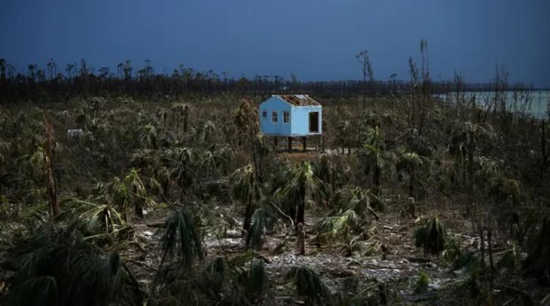
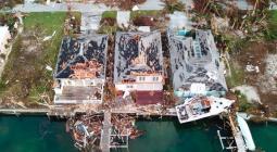
In September 2019, category 5 Hurricane Dorian struck Abaco and devastated it and other islands. It caused $3.4bn in damage.
Speaking after the storms, the Bahamas’ then prime minister, Hubert Minnis, said: “We are in the midst of one of the greatest national crises in our country’s history.”
This article was amended on 25 May 2023 to correctly name the island of New Providence.
-
Christina Gerhardt is an academic, author and environmental journalist: she is associate professor at the University of Hawaii, permanent senior fellow at the University of California at Berkeley and former Barron professor at Princeton University. Edited excerpt is from Sea Change: An Atlas of Islands in a Rising Ocean by Christina Gerhardt, published by the University of California Press. ©2023
cover photo:A destroyed house is seen in the wake of Hurricane Dorian in Marsh Harbour, Great Abaco, Bahamas, in 2019. Photograph: Loren Elliott/Reuters


