How Vancouver plans to cool down the hottest parts of the city amid global climate change.
Volunteers will take to the streets to measure temperatures in neighbourhoods across Vancouver
A horde of cyclists and electric vehicle drivers will soon take to the streets of Vancouver to map out the hottest and coolest parts of the city — a move that will help inform future plans to mitigate rising temperatures.
It's called heat mapping, which is an urban planning tool other cities across the world have used to identify which neighbourhoods are most susceptible to increased temperatures amid global climate change.
"It's a really neat citizen-science project," said Stephen Sheppard, the director of University of British Columbia's Collaborative for Advanced Landscape Planning. "Obviously, things are going to get a lot hotter in the summers [in the years ahead]."
The collaborative is partnering with the city to carry out the project.
About 60 volunteers are expected to participate in the city's heat map project. Each will traverse a route in the city, equipped with high-tech sensors to monitor temperature as they travel.
The city recruited cyclists and EV drivers to do the mapping, so as not to emit any greenhouse gases while collecting data. Volunteers will travel the route three separate times throughout the day to collect a range in temperatures.
"One reason to do it is to have a much more accurate, precise map of not just neighbourhoods, but local areas, green spaces, places that could be cool refuges in really hot areas, and also places that are very vulnerable to heat and health effects from heat waves," added Sheppard.
Organizers are targeting a hot day in late August to run the program.
Beat the heat
According to Sheppard, the project will establish baseline temperatures for neighbourhoods across the city. Plans are to continue mapping in the years ahead, tracking overall changes in heat.
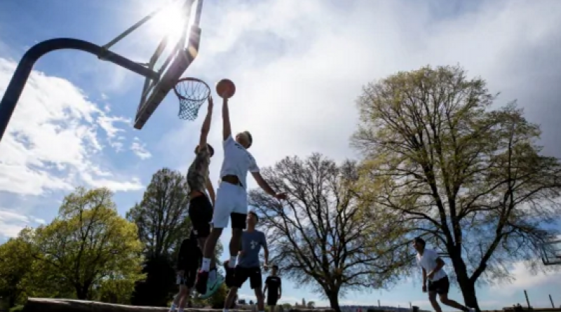
"Most people aren't that familiar with the predicted effects of climate change and how much hotter it's going to get," said Sheppard. "The popular meme is that we're going to be as hot as San Diego in the summer by mid-century, and that means a lot to people's health and well-being."
In a statement, the city spokesperson said the data will provide information to help guide the city's urban planning, public health and urban greening initiative.
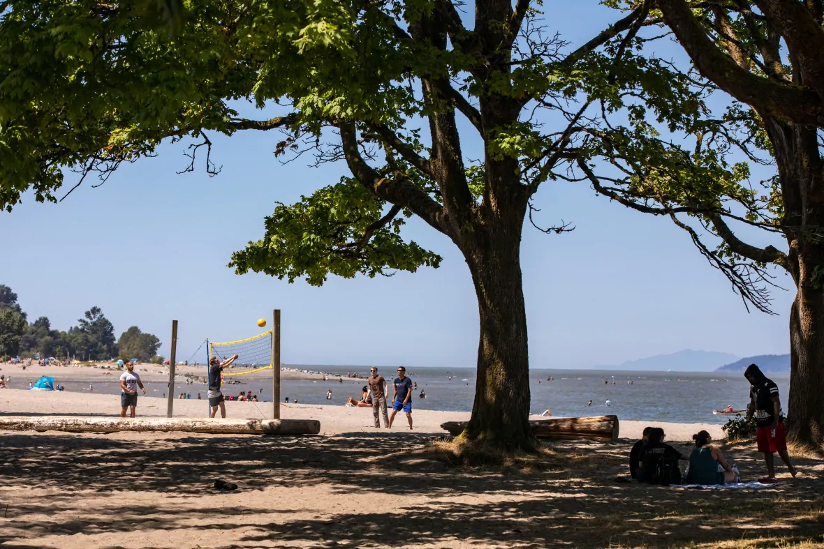
Sheppard says that means adding things like water features, cooling stations, and green space in hotter neighbourhoods.
It will also identify areas where the city can improve canopy coverage, which is the amount of leaf cover over a city seen from the sky.
"This can reduce temperatures by several degrees, and that's what we're going to need in these commercial areas and residential areas with very low tree canopy like in East and South Vancouver, where it's going to get very hot," said Sheppard.
Vancouver has some of the lowest canopy coverage of major cities in Canada, currently at around 18 per cent. The city's goal is to bring that number up to 22 per cent.
Sheppard says it's never too early for residents to contribute.
"We need a lot more people aware of the problem and planting trees now in their gardens, not only so they can cool themselves, but their neighbourhoods in 10, 12, 25 years when it's going to be a lot hotter," he said.
10 August 2020
CBC