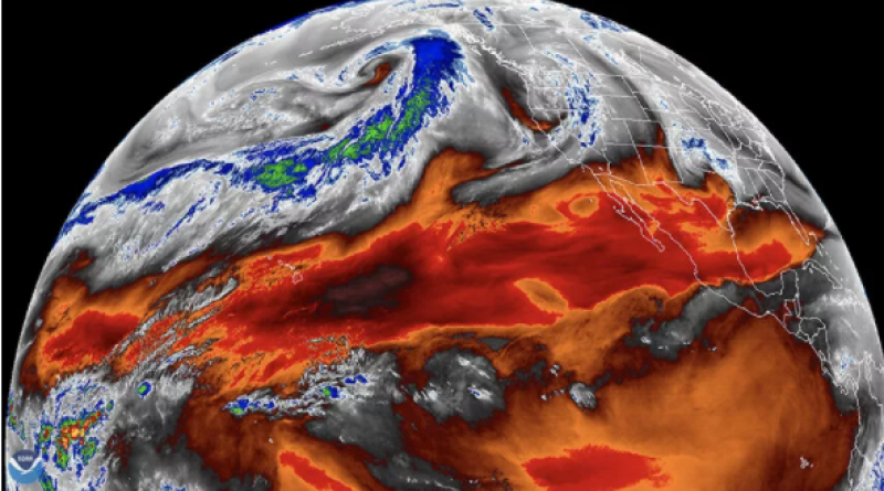
Satellites may have been underestimating the planet's warming for decades.

A new comparison of measurements finds that some don't add up.
The global warming that has already taken place may be even worse than we thought. That's the takeaway from a new study that finds satellite measurements have likely been underestimating the warming of the lower levels of the atmosphere over the last 40 years.
Basic physics equations govern the relationship between temperature and moisture in the air, but many measurements of temperature and moisture used in climate models diverge from this relationship, the new study finds.
That means either satellite measurements of the troposphere have underestimated its temperature or overestimated its moisture, study leader Ben Santer, a climate scientist at Lawrence Livermore National Laboratory (LLNL) in California, said in a statement.
"It is currently difficult to determine which interpretation is more credible," Santer said. "But our analysis reveals that several observational datasets — particularly those with the smallest values of ocean surface warming and tropospheric warming — appear to be at odds with other, independently measured complementary variables." Complementary variables are those with a physical relationship to each other.
In other words, the measurements that show the least warming might also be the least reliable.
Santer and his team compared four different ratios of climate properties: The ratio of tropical sea surface temperature to tropical water vapor, the ratio of lower troposphere temperature to tropical water vapor, the ratio of mid- to upper-troposphere temperature to tropical water vapor, and the ratio of mid- to upper-troposphere temperature to tropical sea surface temperature.
In models, these ratios are strictly defined based on physical laws governing moisture and heat. It takes more energy to warm up moist air than dry air, because water sucks up heat efficiently. Warmer air can also hold more moisture than cooler air, a phenomenon that is visible in morning dew — as the air cools overnight, it sheds water.
The researchers found, though, that the satellite observations didn't stick to these supposedly well-defined rules. Instead, they fell within a wide range, depending on which dataset the researchers used. This might mean that some datasets — the ones that better mesh with the physical rules governing moisture and heat — are more accurate than others, the researchers reported May 20 in the Journal of Climate.
The datasets that best followed the rules for water vapor and temperature ratios tended to be those showing the most warming of the sea surface and troposphere, the researchers found. Likewise, the ones that best followed the rules for mid- to upper-troposphere temperatures and sea surface temperature ratios were those with higher measurements of sea surface temperature.
More work will be needed to figure out what the satellites might be getting wrong — whether it’s the moisture side of the equation or the temperature side. Ultimately, using the models to test the feasibility of the real-world observations can help researchers track historical warming with more precision, study co-author Stephen Po-Chedley, an atmospheric scientist at LLNL, said in the statement.
"Such comparisons across complementary measurements can shed light on the credibility of different datasets," Po-Chedley said.
Live Science


